
Buckhorn Creek, Arizona
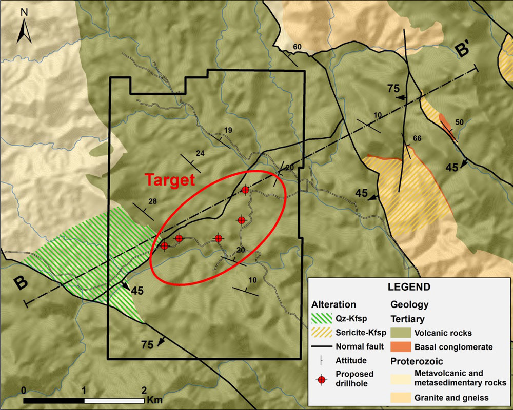
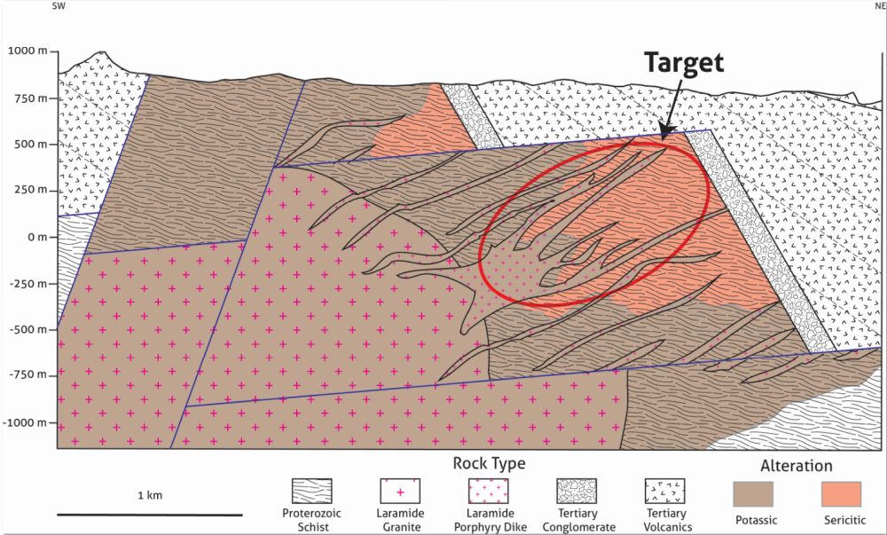
Buckhorn Creek is a porphyry copper project located in north-central Arizona’s Castle Creek Mining District, approximately 70 kilometers north of Phoenix. The Project is located within a highly extended belt of rocks that includes the Sheep Mountain porphyry copper-molybdenum deposit located ~9.5 kilometers to the northeast. The target at Buckhorn Creek is an untested porphyry copper system concealed beneath post-mineral cover. Deeper and peripheral structural levels of the system are exposed in basement windows between post-mineral extensional faults. Porphyry-style alteration and mineralization expressed in the basement windows vectors toward the area of post-mineral cover on the property. The Buckhorn Creek project is available for partnership.
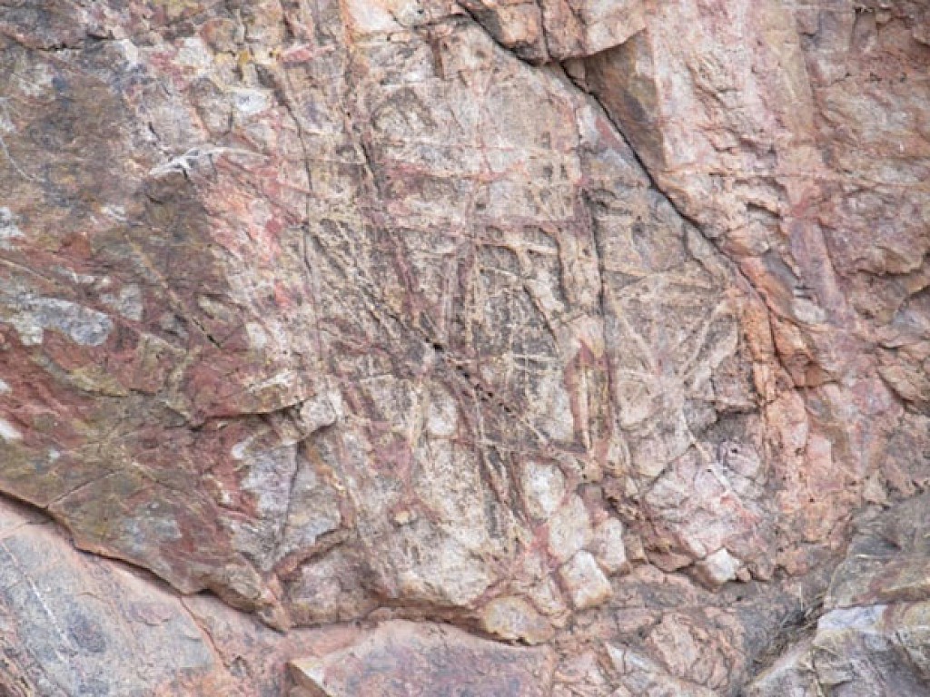
The presence of leached-cap and mineralized and altered porphyry clasts with local copper oxide in basal post-mineral conglomerates suggests a proximal source concealed beneath volcanic cover rocks on the property. Felsic porphyry dikes containing quartz-chalcopyrite veins cut the basement rocks adjacent to the post-mineral cover. During a previous partnership on the project, an IP survey yielded a 600m long chargeability anomaly concealed beneath the post-mineral cover rocks, at a depth of approximately 200m. Drill sites have been permitted to test the chargeability anomaly, and project is ready for exploration follow-up.
Note: Deposits of the Castle Creek District provide geologic context for EMX’s Buckhorn Creek project, but this is not necessarily indicative that the project hosts similar mineralization.
Maps
 Click to Enlarge
 Click to Enlarge
Photos
 Click to Enlarge
©2024 EMX Royalty Corp. All rights reserved. | Website by Adnet | Privacy Policy | Web Accessibility Policy