
Timber Butte, Idaho
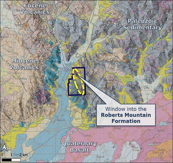
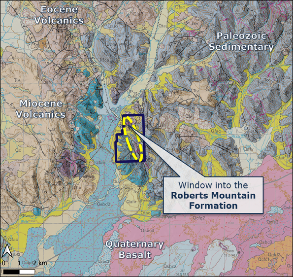
The Timber Butte project is located 15 km NE of Carey, Idaho. The project is a Carlin-type Au project within a regional structural zone and is hosted in the folded and faulted Roberts Mountains Formation, a main host to mineralization in the Carlin Trend, Nevada.
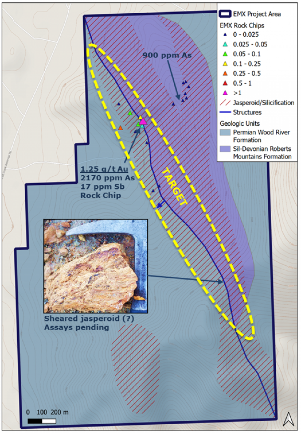
Host rocks are the Silurian-Devonian Roberts Mountains Formation silty limestone and Pennsylvanian-Permian Wood River calcareous/siliceous conglomerate. Structurally, the Timber Butte project has mineralization localized along a NW-striking normal fault juxtaposing the Roberts Mountains and Wood River Formation units. Alteration consists of jasperoid in limestone and silicification/decalcification in clastic units.
The targets at Timber Butte are surface mineable, oxide Carlin-type gold. Surface samples have up to 1.25 g/t Au (n=19, avg. 0.1 g/t Au) in rocks within major NW-striking mineralized structure. There was limited historic rotary drilling (~10 holes?) in 1970s. Timber Butte has widespread jasperoid, silicification, and decalcification over 2.5 km x 0.75 km surface area and 300m of vertical relief. There is minimal outcrop with shallow soil and alluvial fan cover of portions of mineralized structure.
Note: The nearby mines and deposits mentioned above provide context for EMX’s Project, which occurs in a similar geologic setting, but this is not necessarily indicative that the project hosts similar tonnages or grades of mineralization
Maps
 Click to Enlarge
 Click to Enlarge
©2024 EMX Royalty Corp. All rights reserved. | Website by Adnet | Privacy Policy | Web Accessibility Policy